
Services
Drone Stockpile Measurement for Quarries
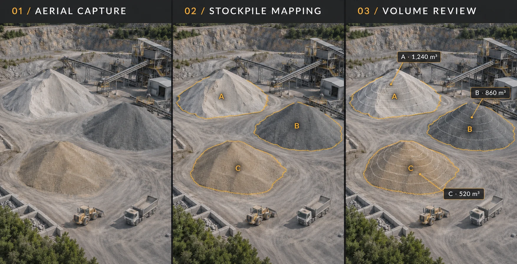
Know what's in the yard without climbing a pile. Simsara Aerial flies your quarry or aggregate yard by drone, reconstructs every stockpile in 3D and reports volumes by material, ready for month-end inventory, audits and sales reconciliation. Based in Farmington, PA, we cover Fayette, Greene, Washington, Westmoreland and Somerset counties and northern West Virginia, from Morgantown to Preston County. Subpixel-aligned reconstructions with millimeter-level detail, and survey-grade accuracy when tied to ground control or RTK. Every flight follows the same route and is aligned to real-world coordinates, so month-over-month changes line up exactly. You get a volume report per pile, a georeferenced orthomosaic, a 3D model you can open in a browser, and exports for your engineering or GIS software. No one walks the piles and the plant keeps running.
Deliverables
- Stockpile volumes and tonnage estimates (using your bulk densities)
- Monthly or quarterly inventory, or one-off audits
- Pit, bench and haul road progress, with before-and-after comparisons
- Orthomosaics, DSM/DTM, contours and point clouds (GeoTIFF, LAS, OBJ, DXF)
- Optional cinematic flyover footage, color-graded, for sales and safety training
Explore the site from above.
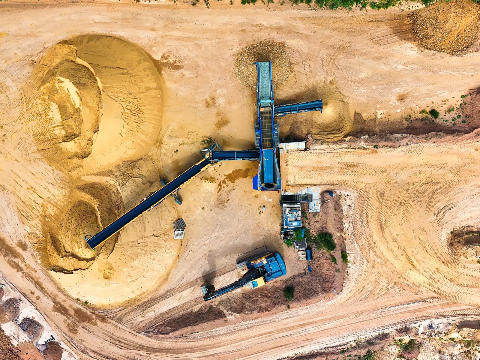
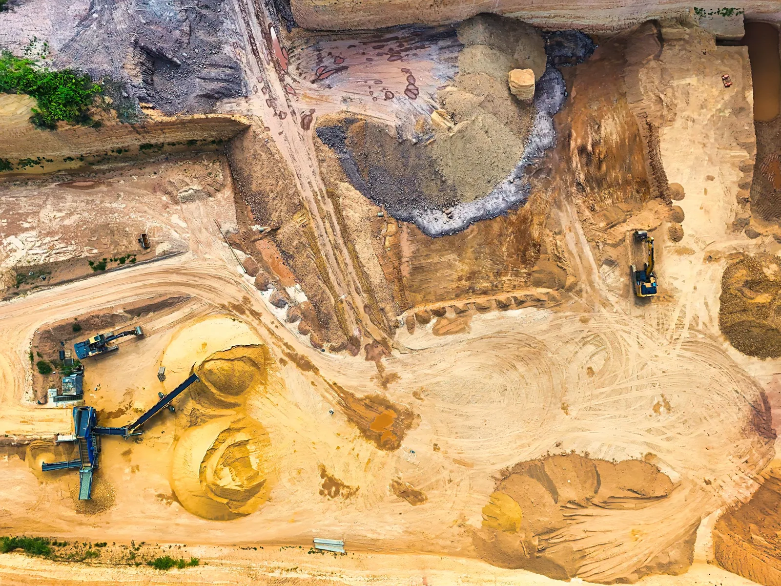
From aerial capture to volume review.
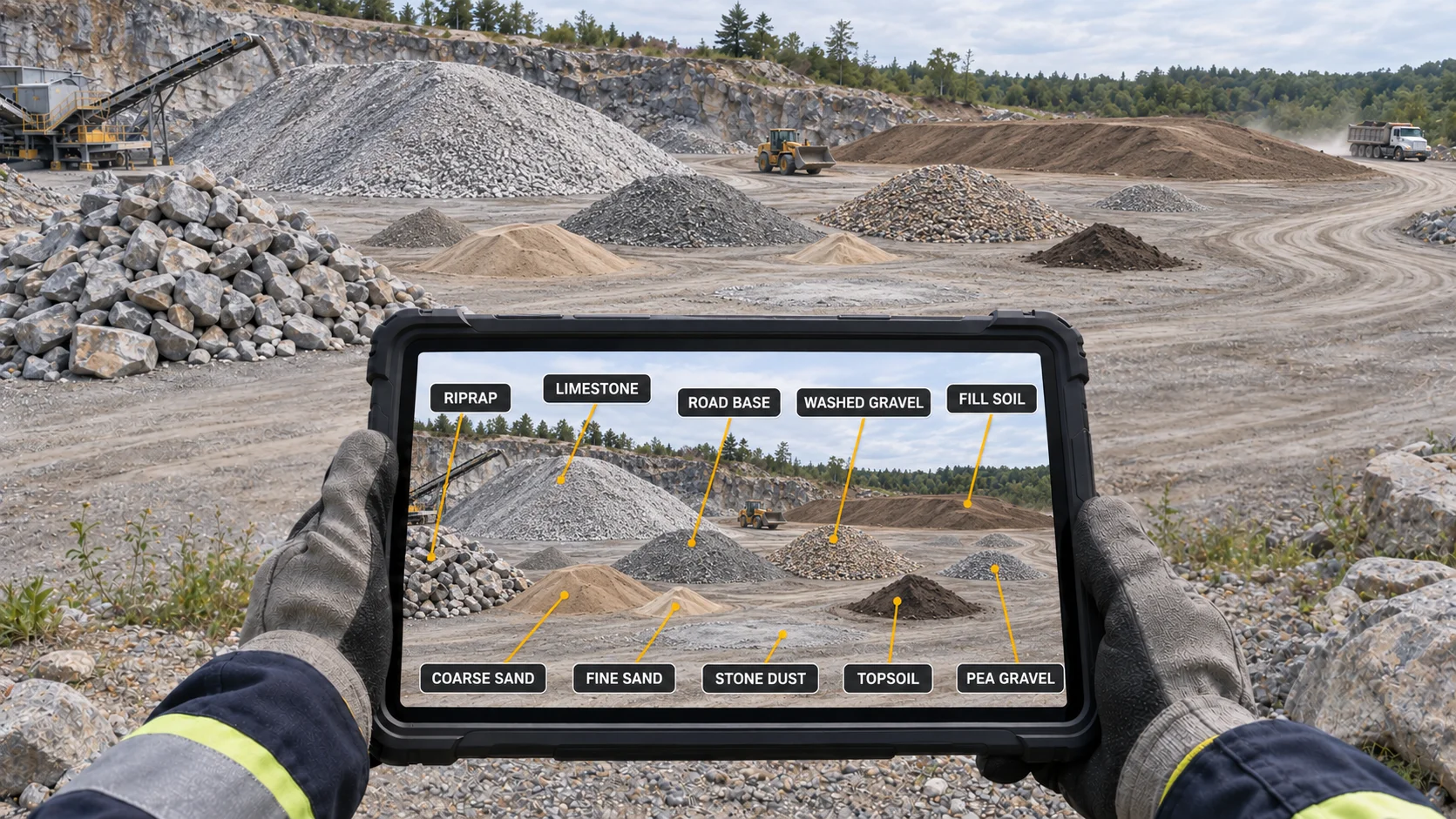
Review the yard from a tablet.
Questions about stockpile measurement
How accurate are drone stockpile volumes?
Our reconstructions are subpixel-aligned with millimeter-level detail. With ground control or RTK, the site is tied to survey-grade coordinates. Volume accuracy also depends on how the pile base is defined, so we agree on base surfaces with you before the first flight.
How often should we measure?
Most yards measure monthly or quarterly for inventory, and before audits or year-end. Repeat flights on the same route make changes directly comparable.
Do you need to stop operations?
No. We fly around active loaders and trucks and coordinate with your site supervisor and MSHA site rules.
What do we receive?
A volume report per pile, a georeferenced orthomosaic, a browser-viewable 3D model, and CAD/GIS exports.
Where do you work?
Southwest Pennsylvania and northern West Virginia, plus Ohio, Maryland and Virginia within about 300 miles of Farmington, PA.
Are you FAA certified and insured?
Part 107 certification and insurance have not been confirmed. Cert # [PART 107 CERT #]. Insurance: [INSURANCE].