
Services
Construction Progress & Insurance Pre-Condition
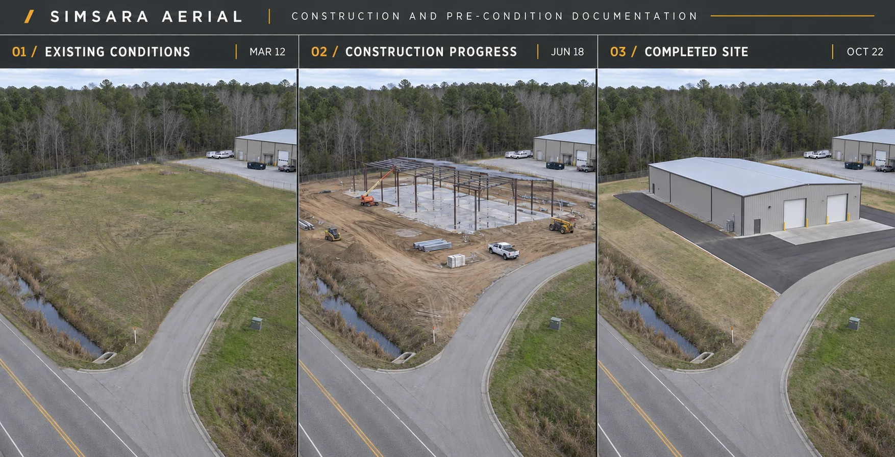
Document it before it changes, then every step after. Simsara Aerial flies your site daily, weekly or monthly from the same positions, and aligns every capture to real-world lat/long, so each visit overlays the last exactly. Drag the slider and see what moved. Before work starts, we capture a dated pre-construction or pre-loss baseline of the site and its neighbors, the record adjusters, owners and contractors reach for when a claim or neighbor dispute comes up. For road construction and paving, we track grading, base, paving and striping along the full corridor. Subpixel-aligned reconstructions with millimeter-level detail, and survey-grade accuracy when tied to ground control or RTK. You get a georeferenced orthomosaic, a 3D model, a browser viewer and a before/after swipe for every visit.
Deliverables
- Pre-construction and pre-loss baselines, dated and mapped
- Daily, weekly or monthly progress flights on a fixed route
- Before/after swipe comparisons aligned to lat/long
- Road, bridge and right-of-way condition before and during projects
- Exports: GeoTIFF orthomosaic, point cloud, 3D model, browser viewer
Compare the view.
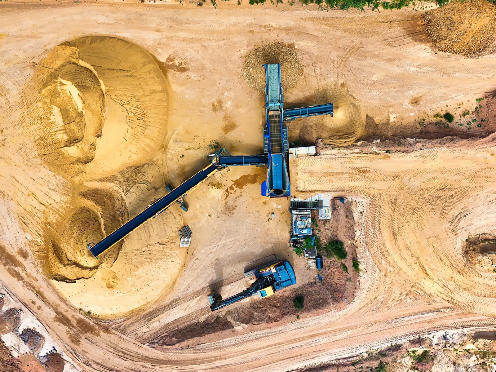
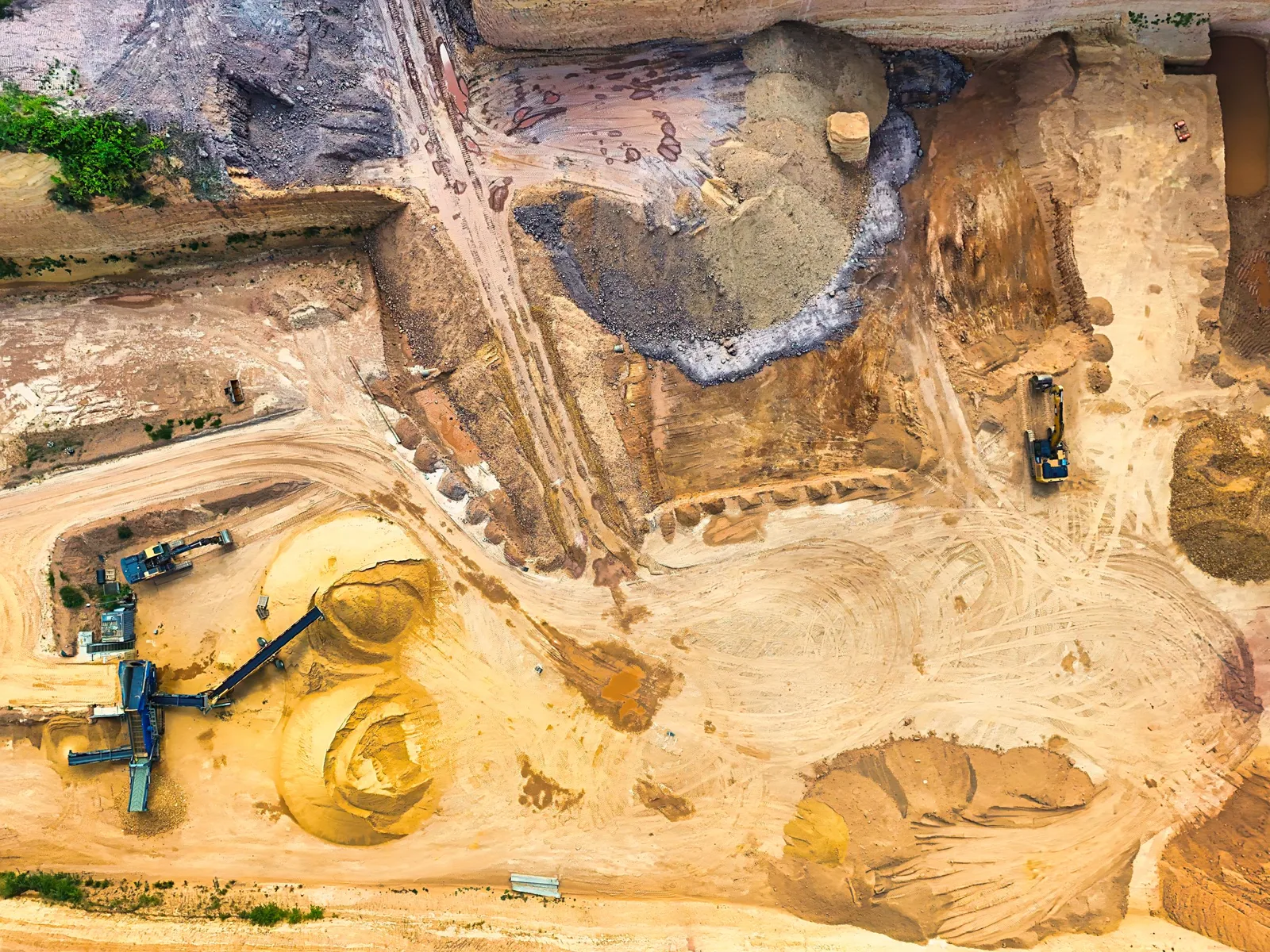
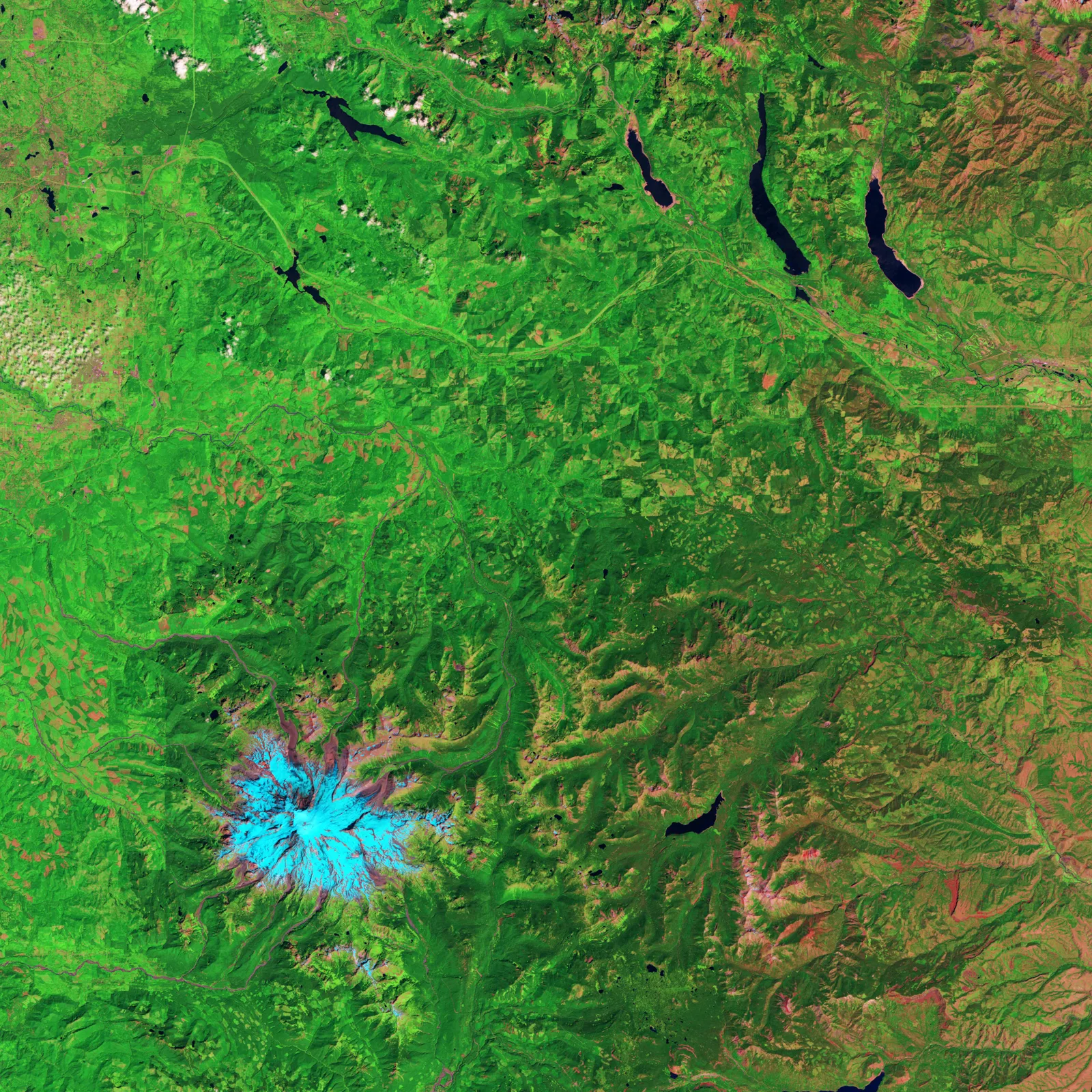
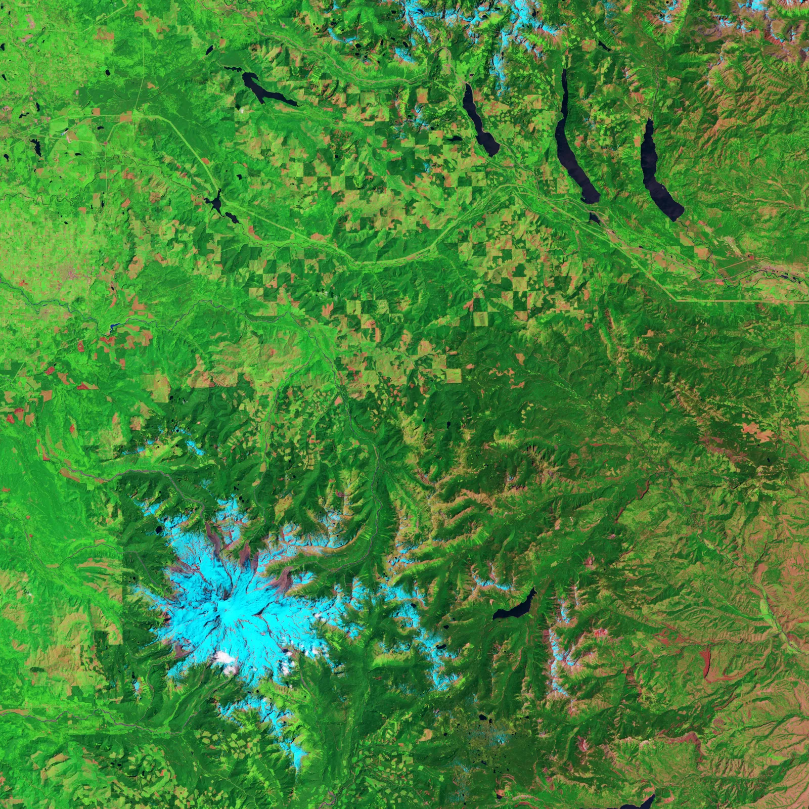
A record of each stage.
Questions about construction records
Will this help with an insurance claim?
A dated, geo-aligned baseline shows what the property and its neighbors looked like before work or before a loss. It supports your claim records; it does not replace an adjuster's inspection.
How do repeat captures line up?
Every flight follows the same route and is tied to real-world coordinates, so captures overlay on the map and can be compared with a swipe.
Are you FAA certified and insured?
Part 107 certification and insurance have not been confirmed. Cert # [PART 107 CERT #]. Insurance: [INSURANCE].